Meeker Colorado OHV Event
Rich history and beautiful scenery best describe the Wagon Wheel Trail system located outside the small town Meeker, Colorado. Established in 1883, the town is located in the White River Valley on Highway 13, just 42 miles north of Rifle and Interstate 70. We were attracted to the area because the town boasts access to over 250 miles of trails with 16 interconnecting loops covering all difficulty levels ranging from beginner to expert. The town is friendly and offers museums, shops, restaurants, hotels, and several campgrounds. For this trip, we choose to leave the RV at home and use a hotel, which turned out to be great. Meeker is proud to be an “OHV Friendly” community which means that you are allowed to ride OHVs within the town limits and on designated County Roads. We enjoyed the direct access to the trail system right from our hotel.
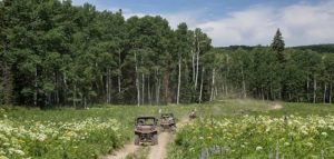

Miller Creek Loop, scenic and easy, 60 miles round trip.
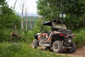
Starting from town, we used the “Connector Trail” to reach County Road 8, avoiding the State Highway. After 10 miles, we turned left on County Road 57, Miller Creek. There is a staging area on the right for those who would rather trailer to the start. Miller Creek starts as a wide, smooth dirt road and slowly narrows to one vehicle. We took a right on F.S. 214 which was the start of the real trail riding consisting of easy two-track and steep grades. Over the next 5 miles, we climbed 2,100 ft through the beautiful, wooded White River National Forest. On top we were rewarded with picturesque rolling hills covered in patches of old Aspen groves. This view continued on an easy hard-packed dirt trail for 15 more miles and we never got tired of it. As we finished the loop descending back to Miller Creek, we noted that the overall trail difficulty never went above easy; however, we did encounter some muddy and steep places that might be intimidating for novice riders.
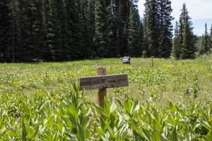
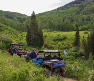
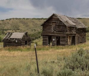
Yellow Jacket, scenic and moderate, 58 miles round trip.
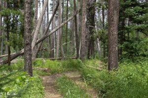
Starting from town, again we used the “Connector Trail” to reach County Road 15, avoiding the State Highway. We reached the staging area just before Yellow Jacket Pass. From here, we used easy F.S. 250 to reach the start of the southern half of the loop. The trail quickly narrows and is not recommended for large UTVs. Thick brush concealed downed logs which can catch you off guard if you aren’t paying attention. We were surprised by a few of them. Once you reached the valley floor, the trail opens up and the views increase. After crossing Stove Gulch, we stopped at an overlook to take in the views. We joined major F.S. 250 and headed back to the start of the trail. We took a more difficult route back on F.S. 251 that would take us by Aldrich Lakes. This section of the trail was high end moderate with narrow steep descents and large rocks. Once we reached the Aldrich Lakes, we had an easy time getting back to the start using County road 15 to cross Yellow Jacket Pass. Before heading back though, we stopped at the Mill Creek Battle Site Memorial to understand some of the rich history the area offers.
Overall, we enjoyed the trails in the Wagon Wheel Trail System and want to come back to explore more of the area. The trails do not offer the high mountain passes like Silverton or Taylor Park, but the area does have a draw with a less busy, quieter feel and unique scenery. The town of Meeker provides many resources to help plan your trip. Visit http://www.wagonwheeltrails.org/home for more information.
Comments