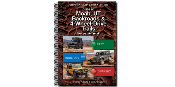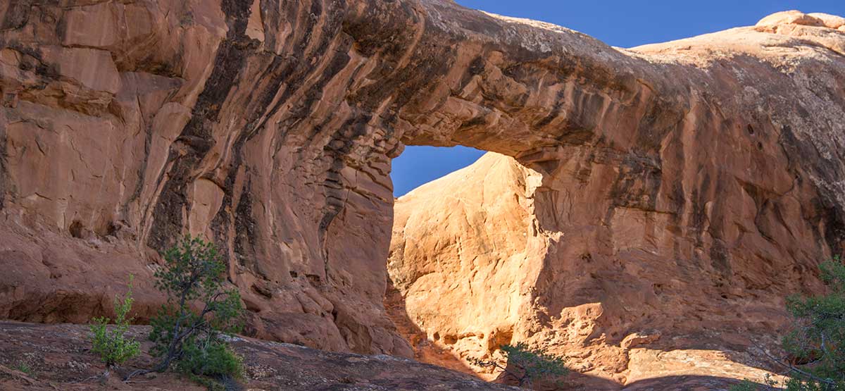
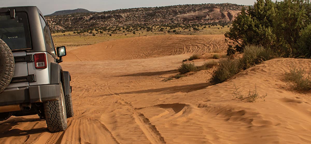
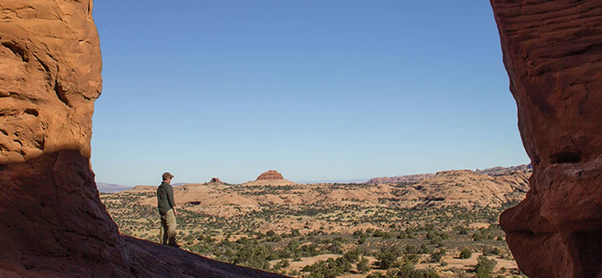
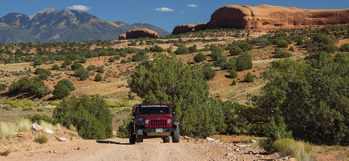
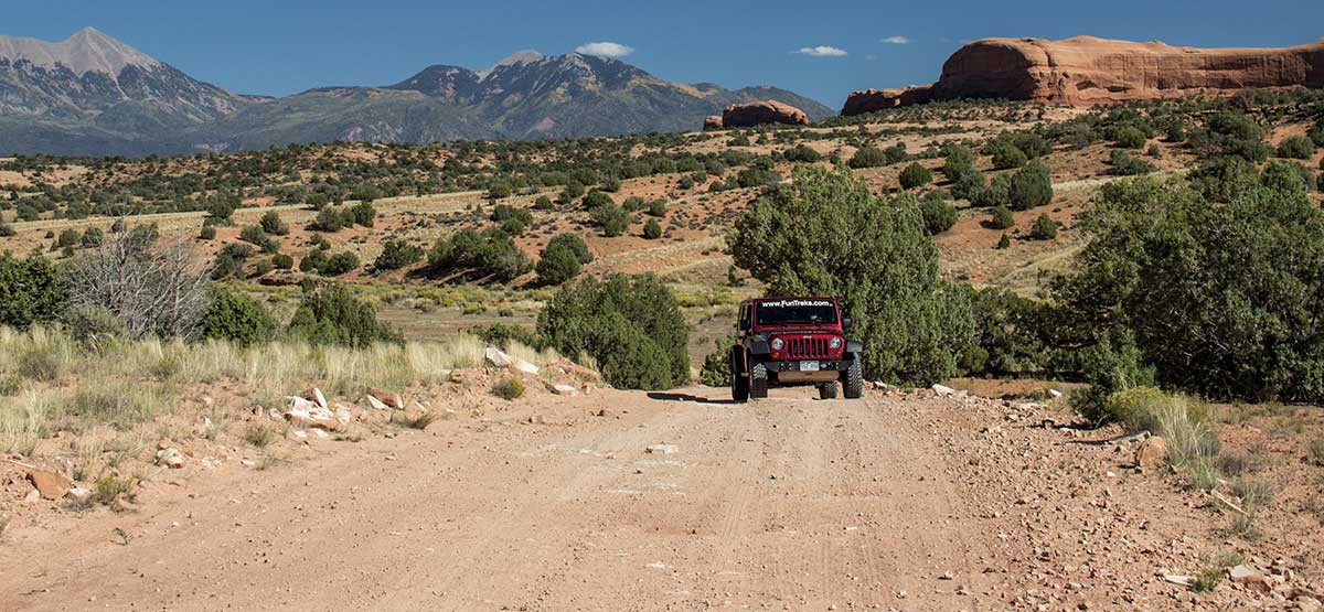
Two impressive arches and great camp spots along route and at base of Lone Rock. Portable toilet or Wag Bag required. Stop for lunch at Picture Frame Arch. Climb up into the arch for unique framed pictures (Caution: steep climb; watch the kids). Great area for UTVs, ATVs, and dirt bikes with many fun side roads, dry washes, and sand dunes to explore. At end of this trail, you can continue on more difficult road to impressive and remote Kane Creek Canyon Overlook, trail #51.
435-259-2100BLM Moab Field Office, 82 E. Dogwood
Check the Weather09/12/2022
Submitted by Andy
I found Picture Frame Arch, but it wasn’t easy. The roads are good into the arch, getting bumpy as you move from sand to rocks. The sign for the turn on the 191 side is gone so I missed that turn. I went another 1/2 mile on a progressively rougher road before I turned around. There is a sign for picture frame arch on the way back. Once you make the turn, following the trail is a little harder. We could stay on the route by watching for the paint marks on the rocks.
03/20/2021
Submitted by Richard
If you go to the arch and turn around, yes, it’s easy. However, if you head out to the overlook, the trail quickly becomes more challenging, and I would rate as moderate. A few washed out areas with some tricky steps, and a fairly off camber climb on a very narrow shelf road will get your heart racing.
10/2/2020
Submitted by Chuck Wells
The trail is still easy until you round the northeast tip of Lone Rock, where it has gotten a bit rockier. Low clearance vehicles may wish to stop here and walk less than 1/10 mile to the arch. In addition, after proceeding past Waypoint 02 on the main road, the trail has gotten much rougher, with several difficult spots, especially along the shelf road just before Waypoint 04. If you are looking for an easy family outing, do not continue on the main road northwest of Waypoint 02.
Tried this trail today and there is no signage, so make sure you pack plenty of water and have time...See More
Rode this trail today and there is no signage. So many trails in this area that it is hard to...See More
Tried this trail today. Great trail but definitely not easy anymore. Should be updated to at least moderate. To the...See More
The route in the FunTreks app only shows to Picture Frame Arch (doesn't go past waypoint 2). I downloaded the...See More