Generic selectors
Exact matches only
Search in title
Search in content
Post Type Selectors
Generic selectors
Exact matches only
Search in title
Search in content
Post Type Selectors

Tomichi Pass

No Reviews
Location Monarch, CO
Rating Difficult,
Length 11.9mi
Time 2hrs

Vehicle Types

Overview

Steep, narrow shelf road crosses high pass to town of White Pine.

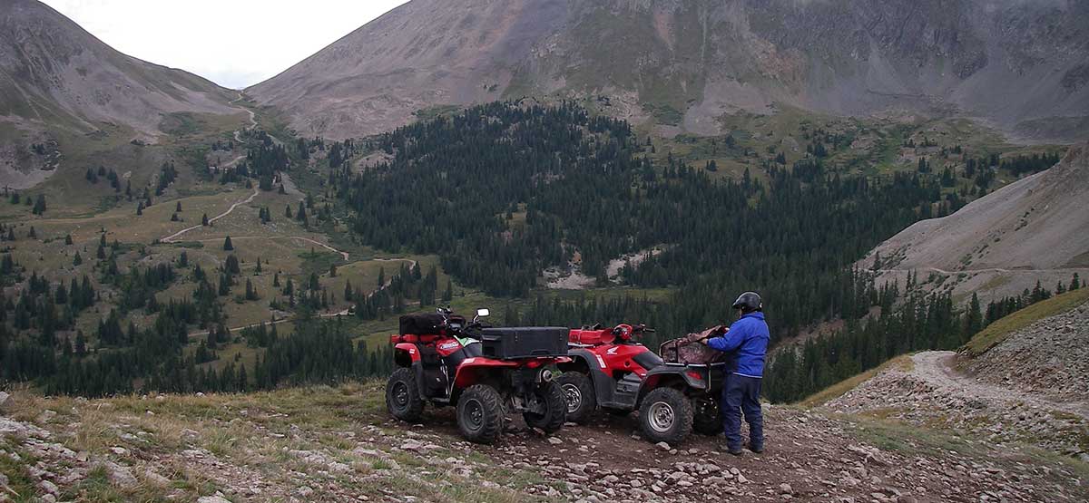
If you are ready to try a difficult trail that doesn’t involve serious rock crawling, this is your opportunity. Views going up are spectacular but the driver’s eyes will be on the road. Don’t start up the trail if someone is coming down even though uphill drivers have the right of way. Going down the south side to Whitepine is more relaxing.

Rating

Difficult
Trail Ratings Defined

This rating is based on the narrowness of the trail rather than the road surface. Passing is impossible in places on the north side. You may have to back up a considerable distance if you meet another vehicle. Do not drive this trail if it is snow covered. Not recommended for novice drivers or anyone afraid of heights.

Stats

Length

11.9mi

Time

2hrs

High Point

11,979ft

Best Time To Go

July-Sept

Current Conditions

(970) 641-0471Gunnison N.F., Gunnison R.D.

Check the Weather

No updates yet.

Provide an Update

free GPS downloads

Trail Updates

07/22/2023
Submitted by Stephanie
The trail is open and clear.

08/22/2019
Submitted by FunTreks
The north end of Tomichi Pass trail is still closed due to a rock slide that occurred 2017 winter/spring.
https://www.fs.usda.gov/detail/gmug/news-events/?cid=FSEPRD584940

08/04/2018
Submitted by Tom Hatfield
The north end of Tomichi Pass trail is closed due to a rock slide that occurred this last winter/spring.
https://www.fs.usda.gov/detail/gmug/news-events/?cid=FSEPRD584940

Reviews

Be the first to review this trail by clicking the button below

Rate this trail on a scale of 1 to 5.


by Webolutions Digitial Marketing Agency


Cancel Agree