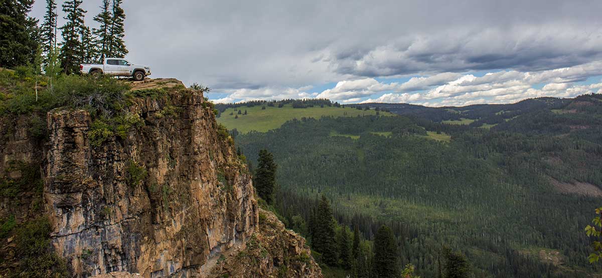
Use extreme caution at Windy Point.
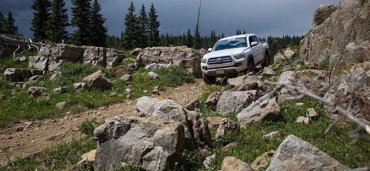
Passing through Quartzite Ridge.
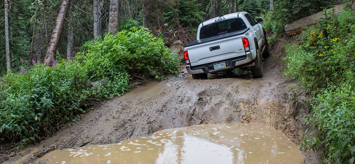
Deep mud bogs after rain. Largest ones have bypasses.
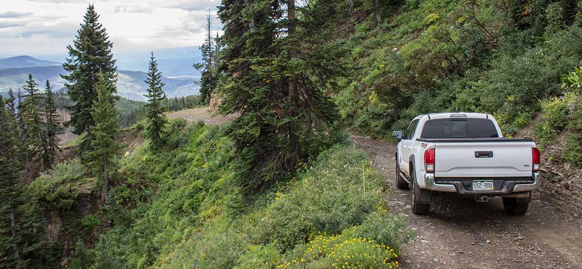
Descending corner at Windy Point.
We usually drive Coffee Pot Road and Grizzly Jeep Trail first, so we can head downhill on the Transfer Trail and enjoy the views at Windy Point and above Glenwood Springs. Riders of dirt bikes and ATVs may prefer starting a the bottom, where there’s a convenient staging area. The bottom also has many side trails to explore, including a challenging 50″-wide trail. If you are not camping at the top and just want a single- day adventure, start from the bottom as described here. Call number at right for seasonal closure dates.
(970) 625-2371White River N.F., Rifle R.D.
Check the WeatherNo updates yet.
Provide an Update