Generic selectors
Exact matches only
Search in title
Search in content
Post Type Selectors
Generic selectors
Exact matches only
Search in title
Search in content
Post Type Selectors

Pilot Rock Road

No Reviews
Location Big Bear Lake, CA
Rating Easy,
Length 8.7mi
Time 2hrs.

Vehicle Types

Overview

Meanders through forest on ridge above Silverwood Lake.

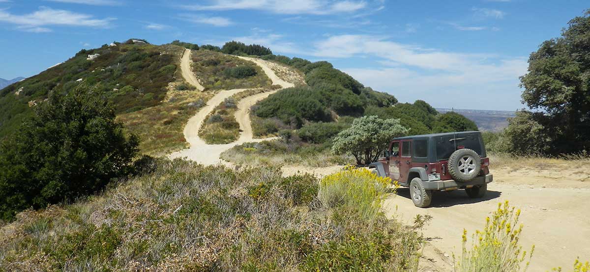
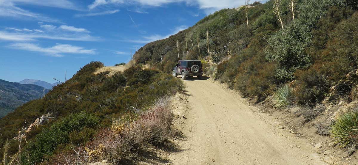
This scenic backcountry route meanders through forest along a high ridge east of Silverwood Lake. Great views of the lake after Wpt. 04. Starting at Wpt. 03, you can choose a more difficult route that runs along the top of the ridge. From Wpt. 06, you can take a difficult OHV route that circles all the way back to Wpt. 03. Open to green-sticker vehicles. Combine with Cleghorn Ridge, Trail #65.

Rating

Easy
Trail Ratings Defined

The main route described here is steep and narrow in a few places but suitable for any high clearance 4x4 vehicle. Ridge route is much steeper with large ruts. Road 2N17X is a hardcore OHV route.

Stats

Length

8.7mi

Time

2hrs.

High Point

4,658ft

Best Time To Go

Jan-Dec

Hot in summer.

Current Conditions

(909) 382-2851.San Bernardino National Forest, Lytle Creek Ranger District.

Check the Weather

No updates yet.

Provide an Update

Free GPS download

Reviews

Be the first to review this trail by clicking the button below

Rate this trail on a scale of 1 to 5.


by Webolutions Digitial Marketing Agency


Cancel Agree