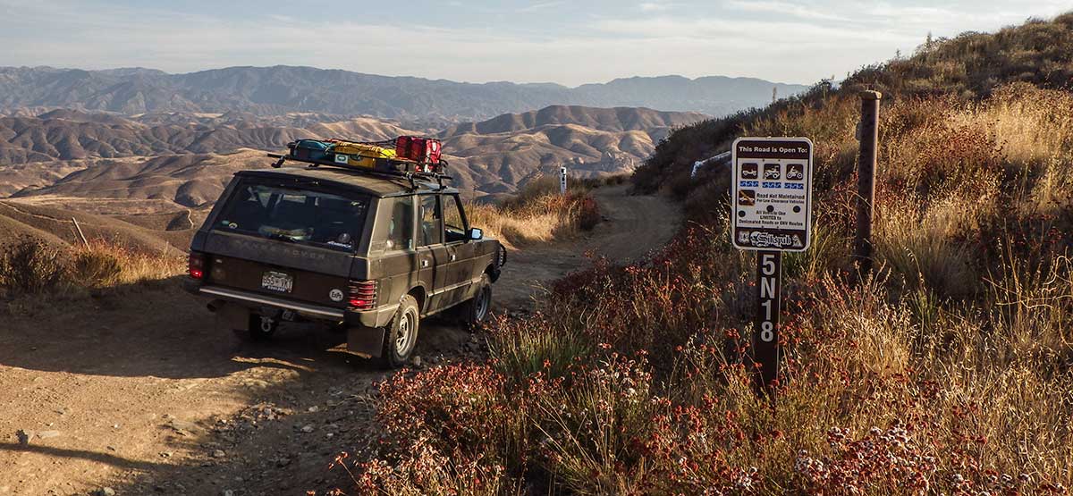
Generic selectors
Exact matches only
Search in title
Search in content
Post Type Selectors
Generic selectors
Exact matches only
Search in title
Search in content
Post Type Selectors

Sierra Pelona Ridge/Rowher OHV

No Reviews
Location Green Valley, CA
Rating Easy,
Length 15mi
Time 3hrs

Vehicle Types

Overview

Rugged backcountry road climbs high above Rowher OHV Area.

This rugged backcountry drive climbs high to the ridgeline of the Sierra Pelona. After traversing the ridge for several scenic miles, it switchbacks down the northern side of the mountain, offering outstanding views of Bouquet Reservoir. Most of the route is inside Rowher Flat OHV Area, open to greensticker vehicles. If you’re looking for a difficult route, follow Rowher Trail shown on the map. Sierra Pelona Road crosses Rowher Trail several times on the north side.

Rating

Easy
Trail Ratings Defined

Single-lane shelf road much of the way with adequate room to pass most of the time. Mildly steep in places with vertical dropoffs at the top. Suitable for stock 4x4 SUVs with decent ground clearance. Skid plates helpful.

Stats

Length

15mi

Time

3hrs

High Point

4,800ft

Best Time To Go

Jan-Dec

Hot in summer.

Current Conditions

(661) 269-2808.Angeles N.F., Santa Clara/Mojave Rivers Ranger District.

Check the Weather

No updates yet.

Provide an Update

Free GPS download

Reviews

Be the first to review this trail by clicking the button below

Rate this trail on a scale of 1 to 5.


by Webolutions Digitial Marketing Agency


Cancel Agree