Generic selectors
Exact matches only
Search in title
Search in content
Post Type Selectors
Generic selectors
Exact matches only
Search in title
Search in content
Post Type Selectors

Jawbone OHV Area

No Reviews
Location Ridgecrest, CA
Rating Easy,
Length 27.6mi
Time 3hrs

Vehicle Types

Overview

Fun loop starts at Jawbone Station.

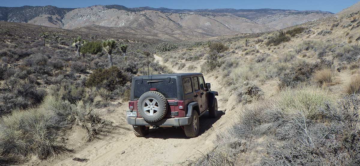
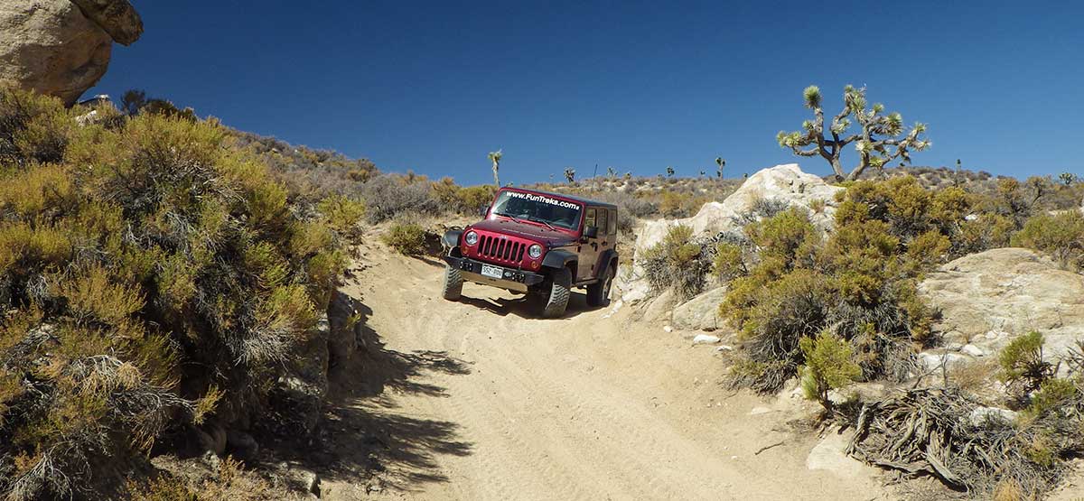
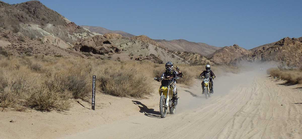
The start of this route offers open riding with free camping and vault toilets. You’ll head north staying on numbered roads inside Jawbone OHV area. The route climbs over 3,000 feet and traverses the southern slope of 5,950-ft. Gold Peak. You’ll see abundant Joshua trees and enjoy high desert views. Stop at Jawbone Station for a detailed map of the area.

Rating

Easy
Trail Ratings Defined

Soft sand and one steep hill climb. Any stock SUV with 4-wheel drive and moderate clearance can handle this trail. Take plenty of water.

Stats

Length

27.6mi

Time

3hrs

High Point

5,674ft

Best Time To Go

Jan-Dec

Hot in summer.

Current Conditions

(760) 373-1146.Jawbone Station Visitor Center

Check the Weather

No updates yet.

Provide an Update

Free GPS download

Reviews

Be the first to review this trail by clicking the button below

Rate this trail on a scale of 1 to 5.


by Webolutions Digitial Marketing Agency


Cancel Agree