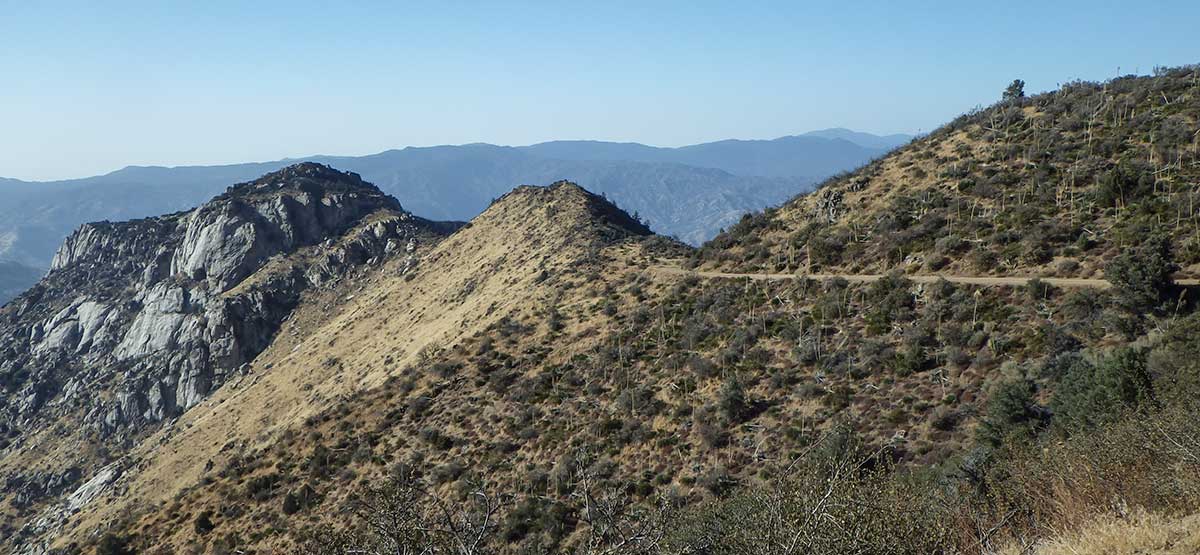
Descending to Lake Isabella.
Long scenic route crosses sprawling high desert from Jawbone OHV Area, climbs above 8,000 feet across the Piute Mountain Range inside Sequoia National Forest, then descends quickly to Lake Isabella. Vast areas of dispersed camping with open riding around Jawbone Station. No greensticker vehicles allowed on Jawbone Canyon Road. Although Forest Road 27S02 is open to green-sticker vehicles, we don’t recommend riding here.
Closed by snow, hot in summer
(760) 373-1146, (760) 373-1146.Jawbone Station Visitor Center, Sequoia N.F., Kern River R.D.
Check the WeatherNo updates yet.
Provide an Update06/03/2022
Submitted by Birda
There are no drastic changes to report. Ran the trail as you described just fine in JLU. Jawbone Canyon Rd had recently been graded which made it super easy & smooth.
12/8/2020
Submitted by Rigs and Trails
Had great weather, definitely bear left at 501 towards Lake Isabella.