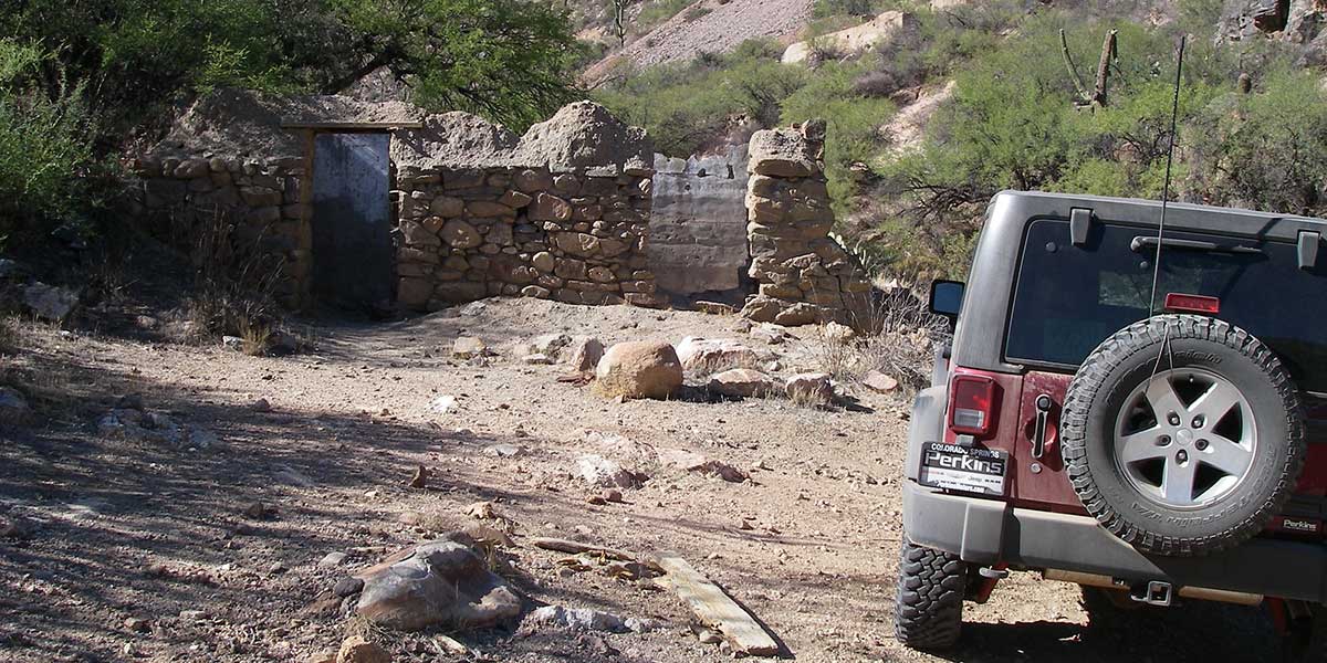
This is just one route in a vast network of OHV roads known as the Table Mesa Area. You can spend many fun days exploring here. In 2011, the area was undergoing many changes with installation of better route markers and development of approved extreme trails (See Trail #39 for details). A map of the area is planned for publication. Our route follows a main artery to interesting historic locations, including Indian Fort and the Tip Top Mine. Shooters, please pack out your trash.
(623) 580-5500Bureau of Land Management, Hassayampa Field Office
Check the Weather7/28/2019
Submitted by FunTreks
Tip Top Mine owner has reported vandalism and has closed access to the mine. Please respect private land and do not proceed after waypoint 5 at the water crossing.
01/22/2017
Submitted by Sam Giamarvo
The road at the water crossing just before you get to waypoint 03 has been closed. The new route is to take the left turn towards the new staging area/campground. The turn coordinates are N33 59.659 W112 08.908 and from there drive to waypoint 03.
The mine is closed to public. This should be removed from the book.