Generic selectors
Exact matches only
Search in title
Search in content
Post Type Selectors
Generic selectors
Exact matches only
Search in title
Search in content
Post Type Selectors

Kamikaze

No Reviews
Location Moab, UT
Rating Difficult,
Length 4.8mi
Time 40mins

Vehicle Types

Overview

Steep descent leads to overlook of massive Lockhart Basin.

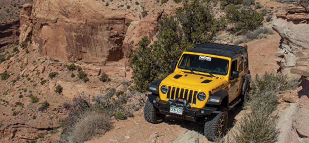
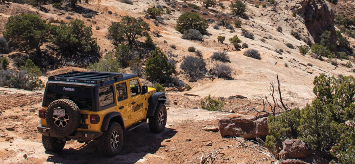
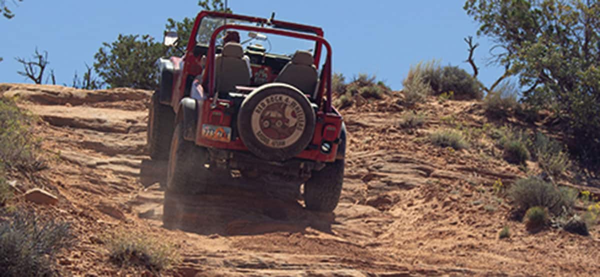
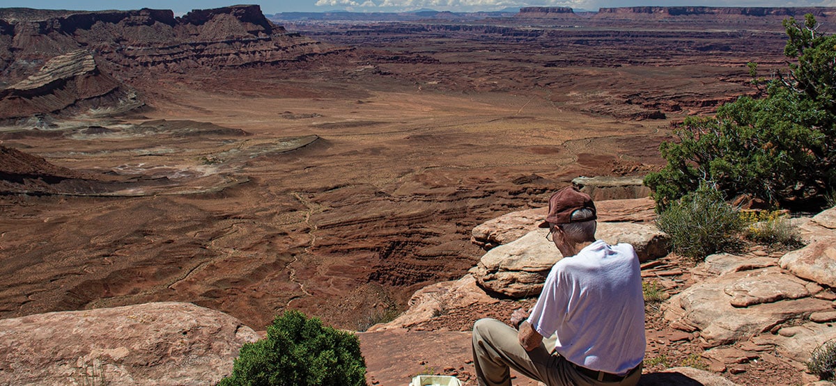
Short side trip to expansive overlook of Lockhart Basin features a memorable 0.2-mile steep section that is driven in both directions. Middle section of route follows a fun shelf road, and the last part is straight and flat. Entrance to trail is directly across Anticline Overlook Road from the exit point of Box Car Loop, trail #69, so it’s convenient to do both routes in same day. Routes are great for ATVs and UTVs.

Rating

Difficult
Trail Ratings Defined

Hardest part of trail is the initial short stairstep descent. This is followed by a longer, smooth slickrock descent, which has a higher pucker factor but is not as difficult. Aggressive stock, high-clearance 4x4 SUVs can do this trail with experienced driver. We recommend using a rear locker coming back up the steep stairsteps.

Stats

Length

4.8mi

Time

40mins

Each way

High Point

5,960ft

Best Time To Go

March-Nove

Current Conditions

435-259-2100BLM Moab Field Office, 82 E. Dogwood

Check the Weather

No updates yet

Provide an Update

Free GPS download

Trail updates

Reviews

Be the first to review this trail by clicking the button below

Rate this trail on a scale of 1 to 5.


by Webolutions Digitial Marketing Agency


Cancel Agree