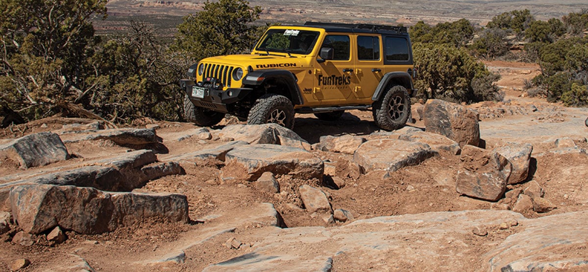
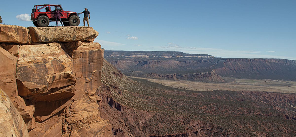
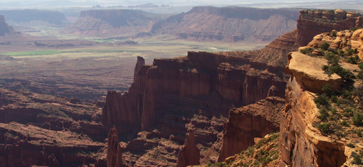
A short, but challenging climb to perhaps the most dramatic overlook in Moab. On a clear day, you can see Fisher Towers, the La Sal Mountains, Priest & Nuns rock formation in Castle Valley, Arches National Park, and western Colorado. Experienced riders of ATVs and UTVs will find this route very challenging.
435-259-2100BLM Moab Field Office, 82 E. Dogwood
Check the Weather03/23/2021
Submitted by Bryce
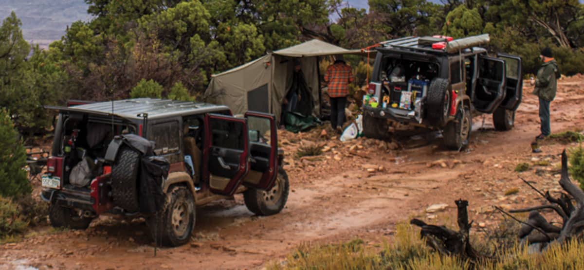
Busy busy busy on Thursday, March 18. Lots of SxS activity and rigs. Muddy toward the top but nothing of concern. Snow in the shady areas. Seems to be getting dug out by the year
03/15/2021
Submitted by Brent
Completed Top of the World on Feb 22, 2021. My Jeep is an 06 wrangler with 2.5″ lift and 33″ tires aired down to about 15 psi. I disconnected the sway bar too. I have a limited slip rear dana 44 with 3.73 gears, but no lockers. Getting there was filled with anxiety after the gravel road because we didn’t know what to expect around each turn and had read that the trial has gotten pretty bad. We made it, but my wife was in tears before we got to the top and hiked the last mile or so. There was snow the last half of the way, but we still got decent traction. Some of the ledges are extreme, but some bad ones had bypasses. One section without a bypass is so steep it looks impossible, but I actually crawled right up. Once we got to the top and calmed down it was worth every bit of the challenge. We had a picnic near the edge with a panoramic view that is indescribable. The weather was perfect. The way down is harder than going up because you can’t see over the ledges to pick a line like you can on the way up. I had to get out and spot about 30 times. One time I figured I would be fine without checking and dropped off a ledge that slammed on my rock rail on one side and dented it (that is what they are there for) and slammed the gas tank skid plate when I came down in the back (going super slow). It left a mark, but no harm done. It just goes to show you have to pick your lines carefully to make it over the ledges both ways. Overall it was a blast for me. My wife will never go back though.
7/10/19 Ran the trail today and were it not for the Funtrek book on Moab we most likely would have...See More