Generic selectors
Exact matches only
Search in title
Search in content
Post Type Selectors
Generic selectors
Exact matches only
Search in title
Search in content
Post Type Selectors

Boreas Pass

No Reviews
Location Breckenridge, CO
Rating Easy,
Length 21mi
Time 1hr

Vehicle Types

Overview

Road follows railroad grade past historic structures.

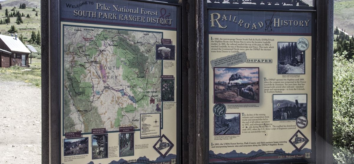
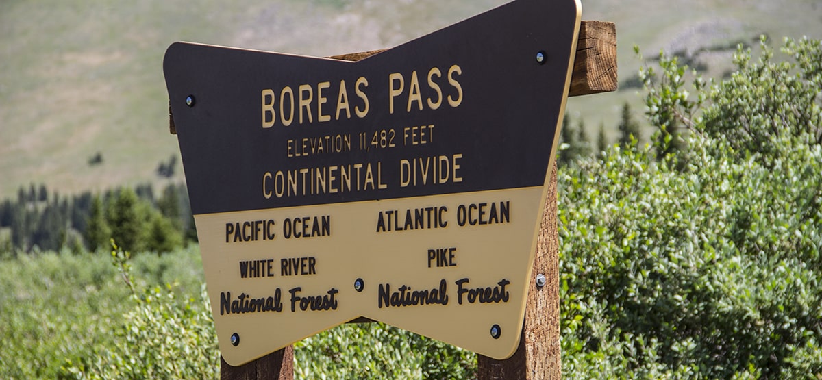
Scenic drive with historic stops, seasonal wildflowers and fall color. Once a railroad, converted to auto traffic in 1952. See railroad exhibits at start, Boreas Pass and Como. Unlicensed vehicles allowed on C.R. 10 and 4×4 roads east of there, but not south of Boreas Pass on C.R. 33.

Rating

Easy
Trail Ratings Defined

Bumpy in places but suitable for passenger cars when dry. Side roads, including Pennsylvania Creek, Indiana Creek, North Tarryall Creek and Bald Mountain, are narrow and rough in places, but have no major obstacles.

Stats

Length

21mi

Time

1hr

High Point

11,481ft

Best Time To Go

June-Oct

Current Conditions

(970) 468-5400White River and Pike N.F., South Park R.D.

Check the Weather

See update below.

Provide an Update

free GPS downloads

Trail Update

6/18/2019
Submitted by Justin
Still closed as of June 18th, 2019 after first parking area just after the paved road ends.

7/9/2018
Submitted by Charles Wells
The 3rd edition book says unlicensed vehicles are allowed on the County Road 10 (the northern half). This no longer is true. Unlicensed vehicles are now banned from the entire route. The 2016 MVUM (White River N.F., Dillon Ranger District) still showed an unlicensed route east of the pass. Connected routes include F.S. 611, 611.3A, 593 and 597.

Reviews

Be the first to review this trail by clicking the button below

Rate this trail on a scale of 1 to 5.


by Webolutions Digitial Marketing Agency


Cancel Agree