Generic selectors
Exact matches only
Search in title
Search in content
Post Type Selectors
Generic selectors
Exact matches only
Search in title
Search in content
Post Type Selectors

Melendrez Pass

No Reviews
Location Tucson, AZ
Rating Moderate,
Length 22mi
Time 4hrs

Vehicle Types

Overview

High, remote vista drive with plenty of camping along the first 5 miles of route.

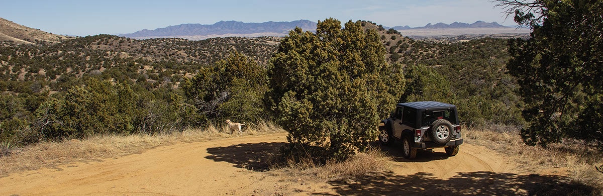
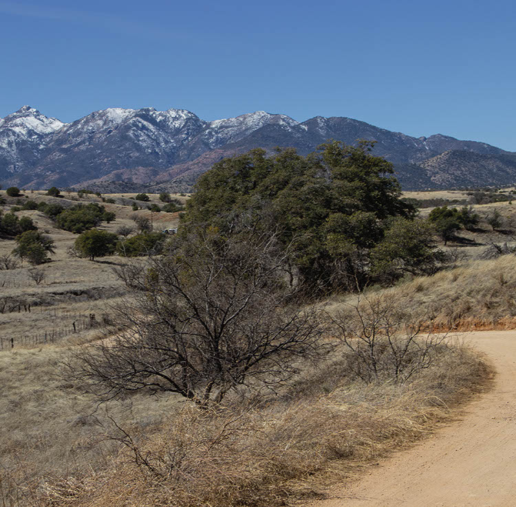
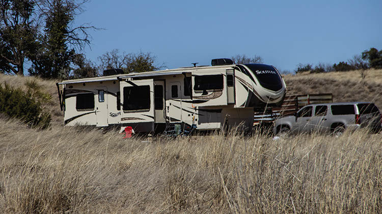
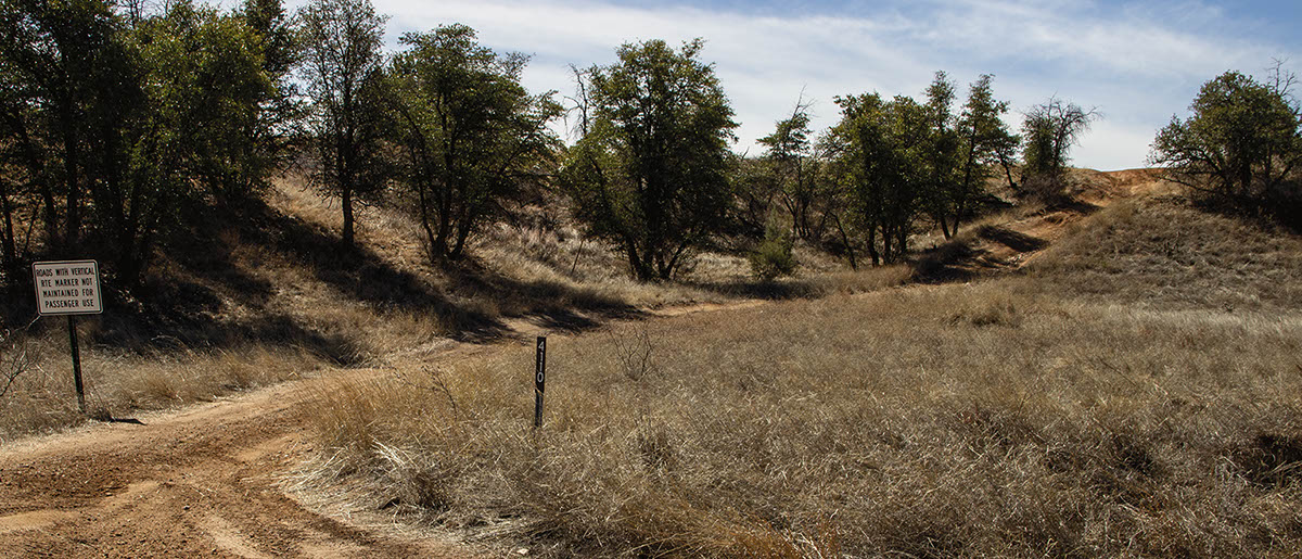
A fun drive to a high, remote vista. Route accesses many OHV trails of the Santa Rita OHV Area. Many great dispersed camp spots, including large spaces for RVs along first 5 miles of route. Staging at Wpts. 01 and 02. If you drive trail in reverse direction, stage at Wpt. 06. Short hike to see adobe ruins and cabins at Kentucky Camp.

Rating

Moderate
Trail Ratings Defined

Trail, when dry, is very easy to Waypoint 05. Moderate rating is for portion after Waypoint 05, which has a few steep, rutted sections requiring high clearance and maybe 4-wheel drive. OHV roads are narrow and difficult in places. All roads and camp spots can get very muddy and perhaps impassable in rainy weather.

Stats

Length

22mi

Time

4hrs

High Point

5,894

Best Time To Go

Spring/Fall

Current Conditions

(520) 281-2296Coronado N.F., Nogales R.D.

Check the Weather

No updates yet.

Provide an Update

Free GPS download

Trail Updates

Reviews

Be the first to review this trail by clicking the button below

Rate this trail on a scale of 1 to 5.


by Webolutions Digitial Marketing Agency


Cancel Agree